

Whether you’re visiting from Shrewsbury or further afield, this complete guide to the walking the Stiperstones in Shropshire has you covered.
This guide has been updated in October 2022

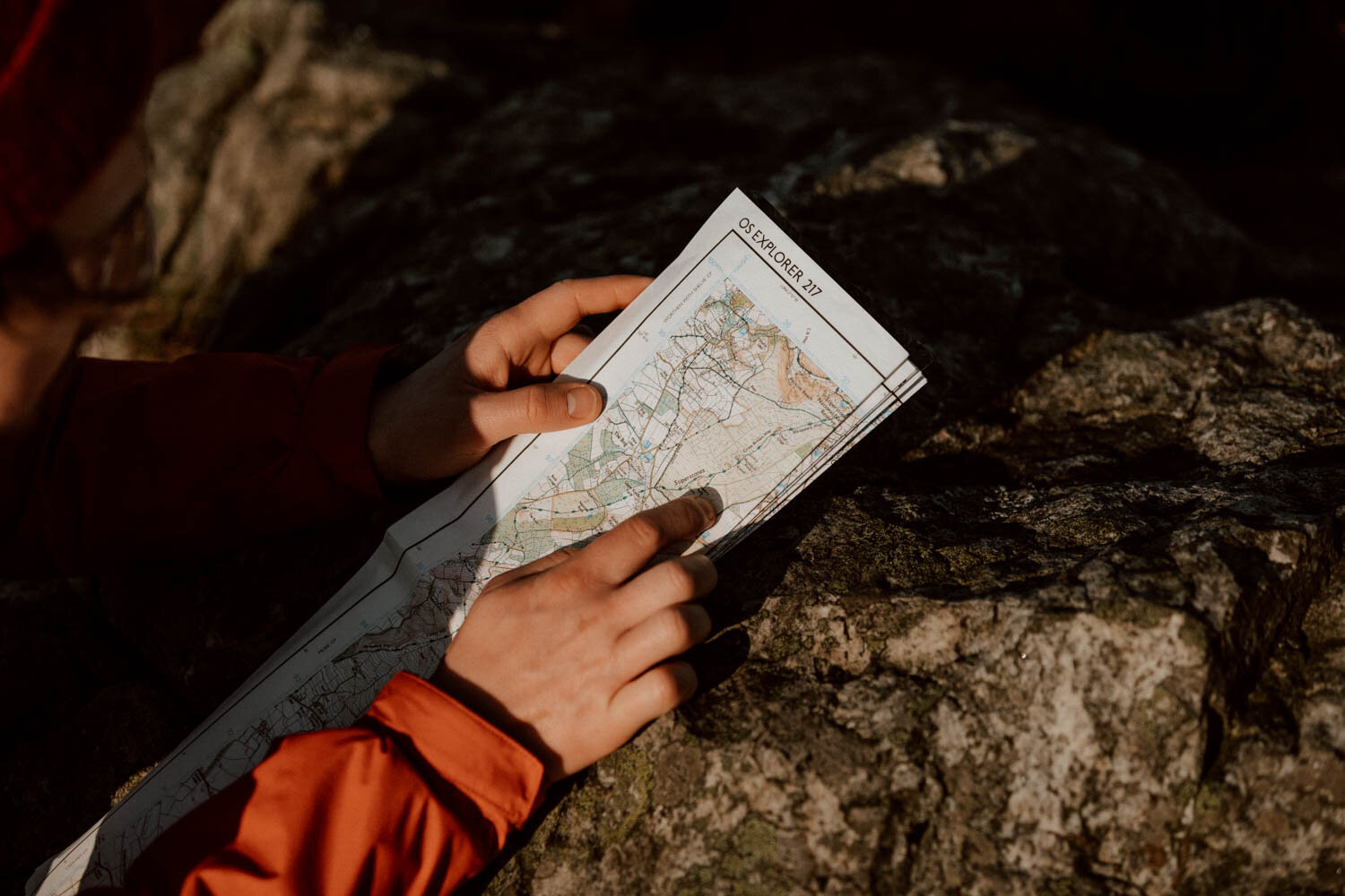
For our first post-lockdown adventure in England, we set the alarm for 4.30 am so we could reach the Stiperstones for dawn.
The first to pull in at the trailhead, we began the gentle ascent as the sky was painted in pastels of soft purples and pinks. Birdsong was carried by the breeze and the jagged silhouette of several ancient tors marked the way forward.
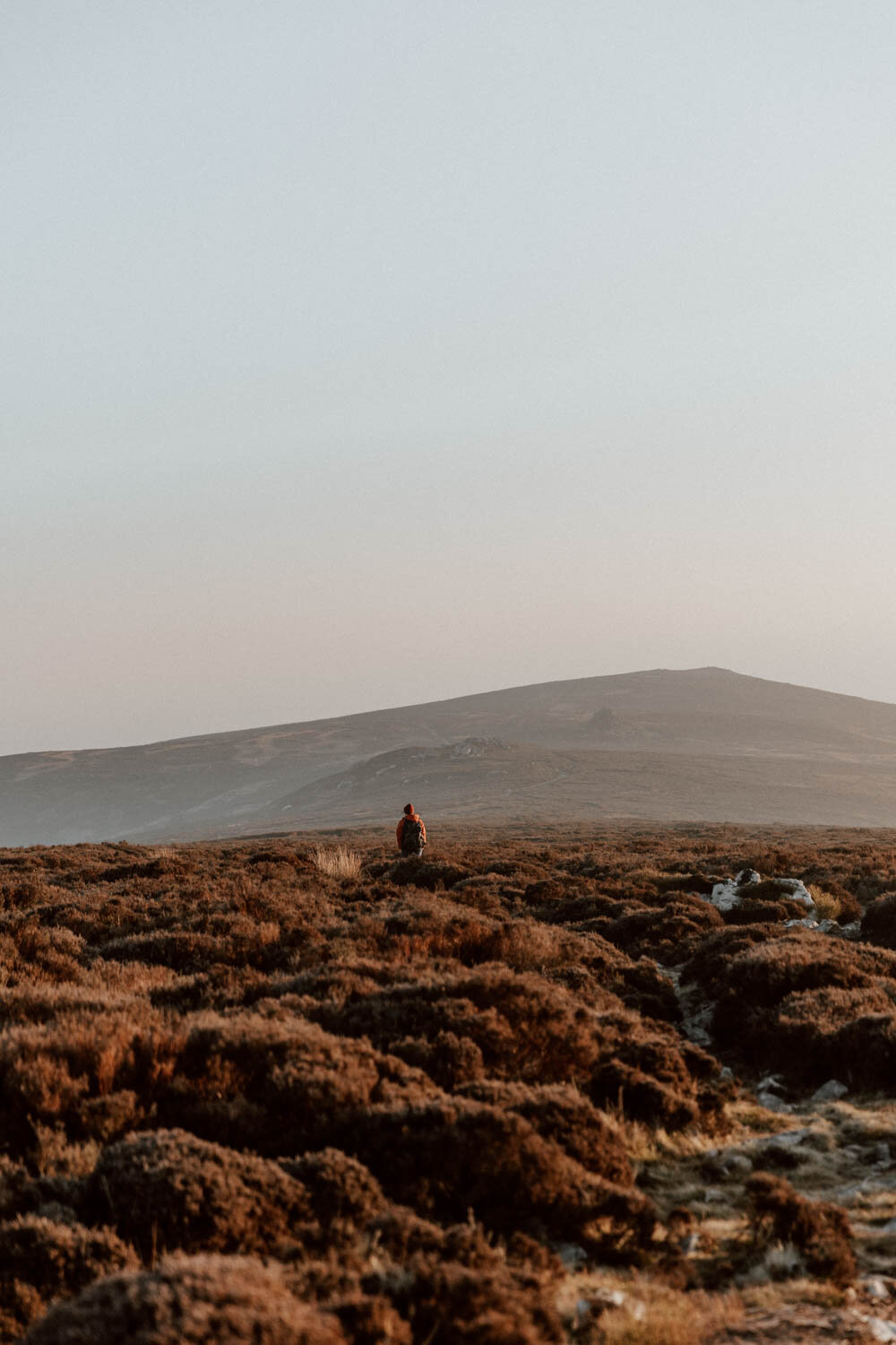
A 35-minute drive from Shrewsbury and Church Stretton, or just over an hour from Birmingham, the Stiperstones National Nature Reserve forms part of the sprawling Shropshire Hills AONB and the Shropshire Way walking route. As a standalone destination, this heathery moor is perfect for an easy-going morning or afternoon walk in the hills, photography and nature spotting, or a day in the outdoors with lovely views and a little bit of scrambling.
In this short traveller’s guide, we've shared our own experience of visiting the Stiperstones and everything you need to know to plan your own walk or route there.

stiperstones essentials
Where / The Stiperstones National Nature Reserve, Shropshire
Routes / Various, including several circular options
Distances / From 3 to 10 miles
Max Elevation / 1706 feet
Difficulty / Easy but rocky underfoot
Ramble / Part of the 202-mile Shropshire Way
The Legends & The Ridges
It’s said that the witches of Shropshire would commune with the devil himself up here, which explains the sobriquet of the most known formation of the several ridges of the Stiperstones: the 'Devil's Chair'
Alas, we found no traces of broomsticks, cauldrons, or toil and trouble. There were however two ravens (or crows, we’re not good on birds) who skulked menacingly in the air all morning, so perhaps there is something to it…
The other legend however is underpinned by a little more fact than fiction. Wild Edric was a wealthy Saxon noble who lost his lands to the invading Normans, but eventually backed them; this double act of surrender and support was viewed as unforgivably treacherous by those who continued to resist William the Conqueror.
They imprisoned Edric in a Stiperstones lead mine alongside his wife, Lady Godda, and placed a curse upon them both (though for some people, being imprisoned with your husband or wife is curse enough…). Both Edric and Godda must ride out from their prison to fight enemies, and return each night to await further threats; they cannot die until “England is returned to how it was before the Norman conquest and all wrongs have been made right.”
It's said that there have been several sightings of Wild Edric across the Stiperstones, riding out to defend an England which will forever curse him.

The sharp clusters of quartzite tors define the Stiperstones, and you should pass by all of them on your walk. The Devil’s Chair is the most known, but we were quite taken by Manstone Rock, the highest point on the 6 mile/10km Stiperstones Ridge.
Although perhaps a little smaller than you may think, these outcrops are beguiling and a lot of fun. Personally, the view looking on them from just before Shepherd's Rock is one of the best in Shropshire, whilst we could take photos of and around Devil's Chair for several mornings in a row! If you arrive for golden hour in the morning or evening, you'll be treated to the sun casting them in several different hues in a short space of time.
From the stones themselves, you can also enjoy views out over the Long Mynd, the Shropshire countryside, and into Wales.
You are allowed to walk, sit, and scramble upon the tors, but do exercise caution where necessary and ensure you’re not harming or displacing the actual structures themselves.


How To Get There & Parking
With your own car, you have two options.
The most direct and convenient is Knolls Car Park within the Stiperstones National Nature Reserve - find it here on Google Maps.
It's got unmarked spaces for about 30 - 40 vehicles (depending on how wildly people choose to position themselves throughout the day) and two designated disabled parking spots.
From here, you're right at entrance to the Reserve and can join one of several ‘there and back’ walking trails up to the Ridge as well as circular routes (see more on these in the next section)
The alternative parking for Stiperstones is located by The Bog Mine Visitor Centre (Google Maps), just a couple of minutes drive (5-10 minute walk) down the road from Knolls. It has more capacity and is actually the official start point of one or two designated walking routes which encompass the old mine area.
If you want to go straight up to the Stiperstones, then the first parking area is our recommendation, but it will fill up quickly on weekends. It's also best if you require ease of accessibility.
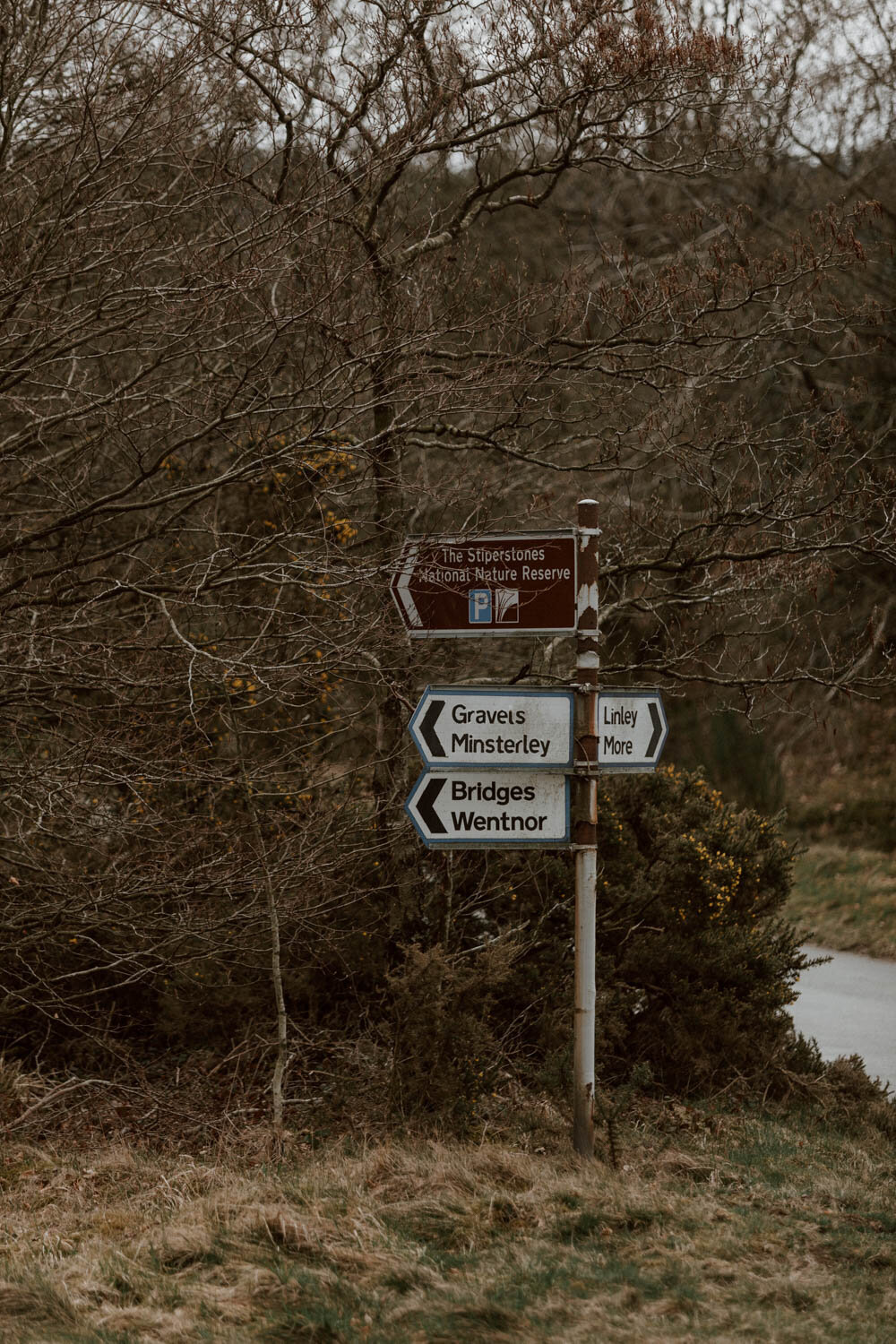
Both are clearly signposted, and you'll arrive at The Bog Mine first if driving from Shrewsbury.
Please note access to the car parks, once you've turned off the A488, is via a narrow single-track country road which has a number of blind corners and passes through a few villages. Drive at appropriate speeds and with the necessary caution.
Parking at both is free, but a voluntary donation of £1.50 / hour or £3.00 / day is suggested and goes towards maintenance and upkeep.

Public Transport
We have some excellent new - the Shropshire Hills Shuttle Bus is back! The buses start in Church Stretton (which you can reach by train) and travel over the Long Mynd and to the Stiperstones.
An all-day, unlimited ticket costs £12 per adult and £5 for children under 16. A family (2 adults, up to 3 children) can travel for £30.
Single tickets start from £4.00 per adult, and any child (5-15 years) ticket costs £3.
They also do season tickets if you’d like to head out into the hills regularly. Well-behaved dogs are also allowed on the buses!
You can find the full timetable here.
Facilities
There are no eating or bathroom facilities on the Stiperstones or in the unstaffed Knolls car park, therefore bring your own snacks / lunch / supplies. There are a few signs at the entrances with nature information, walking advice, and routes.
The Bog Mine Visitor Centre does have a little volunteer-run cafe and toilets (with staff that are very happy to impart their knowledge of the area), but it closes during the winter season, usually between November and March). You can find their specific opening hours on their website.
The Stiperstones Shropshire Walking Routes
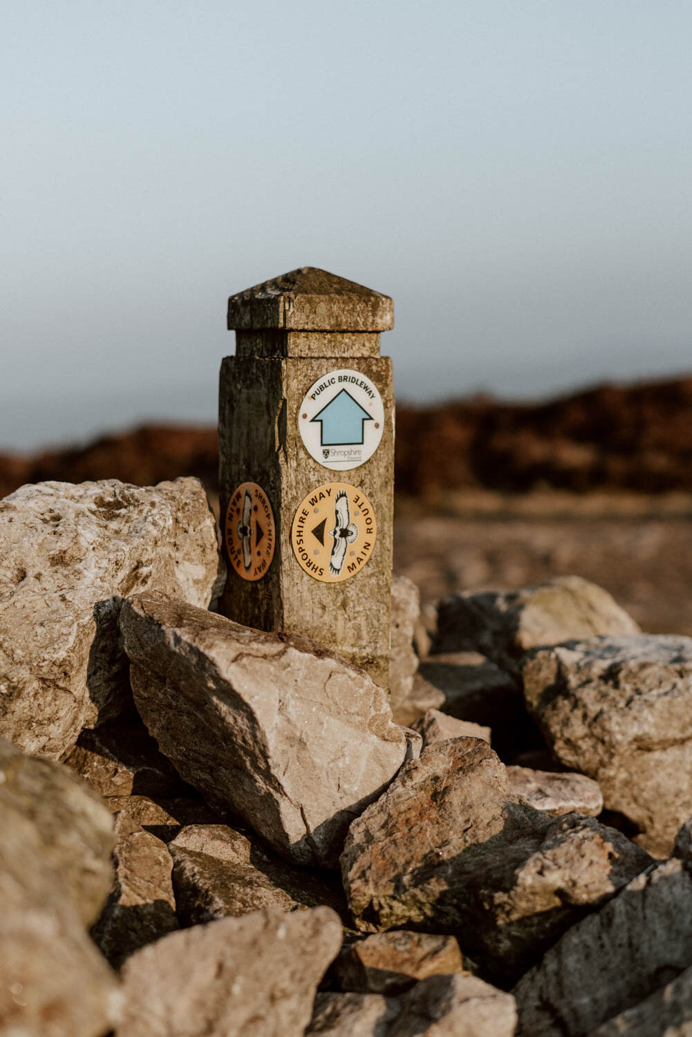
A few different public walking paths criss-cross the Stiperstones, and you can connect these up in several ways to make your own clockwise or anti-clockwise loop. However, we wanted to share those we've done and those we think will be most relevant for your own first visit.
All of the below Stiperstones routes will take you to the three main outcrops on the ridge - Cranberry Rock, Manstone Rock, and the Devil's Chair. They aren't really sign-posted or distinguished, but don't worry too much if you end up taking one path over the other as they'll all eventually take you to the same spots.
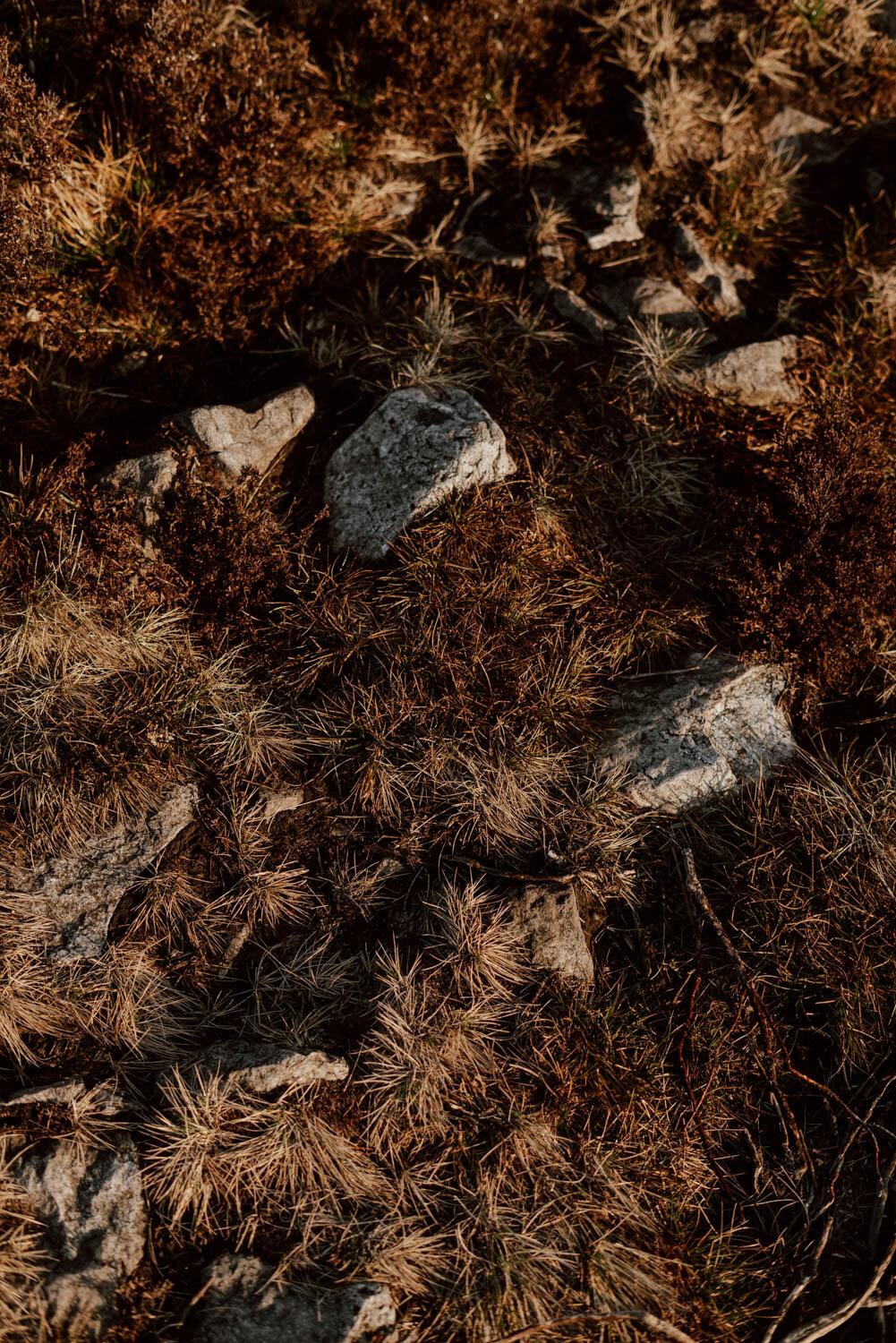
We'd rate all of these trails as easy, but you do have to be aware of the terrain. The main pathway between the ridges is rocky and uneven in most parts up, whilst other sections become quite boggy in poor weather. If wet, the rocks would be very very slippy. Good hiking boots or walking trainers are therefore necessary year-round.
Even if sunny and dry, it can be quite blustery up her too, so take an extra layer / windbreaker and a hat to keep your lugs warm.

Our Stiperstones Ridge Loop
This is our favourite, and you can extend or adjust it to effectively make it a bespoke loop back to the car park and / or a much longer walk.
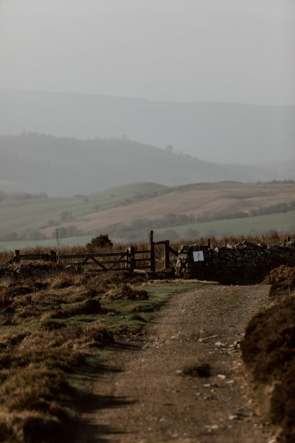
From the Knolls car park, go through the gate closest to the car park entrance (we've marked it on Google Maps here), and follow the wide grassy path up.
After a few minutes, you’ll come to a little fork in the road (Google Maps). You can take the right-side path to come out near Shepherd’s Rock, but you should keep on going left/straight toward the ridges and the main path. At the top, Cranberry Rock will be on your left (you can make a little detour stop there) but you need to continue to the right along the main path toward Manstone Rock (Google Maps). From there, it’s simply a case of going straight along the rocky, uneven path, making time for scrambles and photos and scenic tea breaks until you reach the signposted crossroads just before Shepherd's Rock (Google Maps).
From there, you can choose to continue onward for and eventually take a path on your right to loop back and return to Shepherd's Rock. However, we prefer to simply take the right to descend to the stile which has signs for the Shropshire Way - here you can either join up with the narrow grassy path running parallel to the dry stone fence or hop over the stile and join the path which eventually joins up with the 'Easy Access' Path.
Whichever you choose, you'll always end up back at the Knolls car park!
Start / The Knolls car park, the first gate on left (Google Maps)
Distance / 3-3.5 miles
Routes / Find further instructions and a map here on AllTrails.
Alt / You can extend this route out into the longer ‘Stiperstones Stomp’, a 5-mile walk which continues on to the village of Habberley. The only downside, is you then have to walk back (the reopening of the seasonal shuttle bus service would change this though).
Stiperstones Circular
This encompasses a short loop of the Bog Mine area and the Nipstone rock, before heading up the road to the Stiperstones. You'll loop round before Shepherd's Rock and eventually join the easy access trail to bring you to Knolls car park and back down to the visitor centre.
The first part of the Bog Mine will be more engaging if you'd like to understand more about the industrial part of the area and the visitor centre is open - if not, then it can be missed and you can just do the above ‘Stiperstones Ridge Loop’.
Start / The Bog Mine Visitor Centre car park
Distance / 5.5 miles
Routes / Find the route map here on the Shropshire's Great Outdoors website.

The Easy Access Path & Loop
From the Knolls car park, you can also enter via the 650-metre easy access path. This is smooth and tarmac, and allows views of the ridges as well as Long Mynd. It has a few interactive elements too, as well as resting places, meaning its ideal for visitors with mobility issues (or those relying on a pushchair).
If you continue along this path after the tarmac stops, you will eventually join a fork where you can go left to the Shepherd's Rock and then join the main Stiperstones trail through the ridges, walking in toward Cranberry Rock and then back to the car park.
For a slightly shorter version, go left instead and you'll arrive at Devil's Rock first before continuing on to Cranberry Rock.
Start / The Knolls car park, enter here by the gate on the right hand side furthest from the car park entrance.
Distance / 650 metres each-way + 3 miles if you continue.
Do you have a personal favourite Stiperstones walking trail? Let us know in the comments!
Responsible Traveller Essentials
It’s imperative that all visitors respect nature and others whilst walking these trails. This doesn’t just preserve it for the future, but keeps it pleasant for the present.
When visiting the Stiperstones, alongside enjoying the great outdoors and the fresh air, you must:
/ Keep dogs on leads at all times within the park and on the trails to protect native wildlife (and don’t be a dick if someone reminds you to do this).
/ Leave no trace and take back all rubbish.
/ No fires or BBQs.
For more advice on how to hike respectfully, legally, and sustainably in the UK, or if you're new to the outdoors, then please take a look at the updated 2021 Countryside Code.