
Planning to hike Volcán Santa María in Guatemala? Here’s what you need to know!

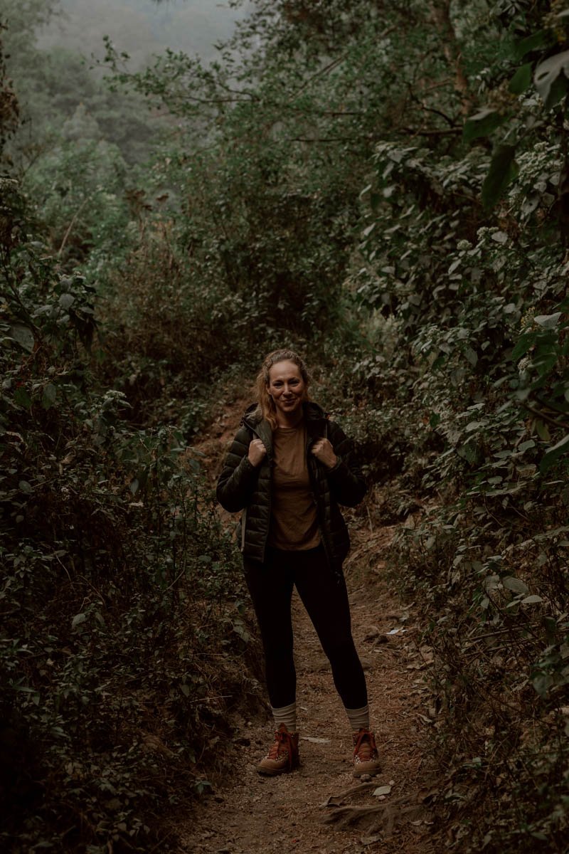
Exasperation is not a feeling you want on a hike.
We had finally made it above the clouds, but steps and breath were becoming shorter. Desperate for a second wind and with nobody else around, we broke one of our cardinal hiking rules, and played an Andrea Bocelli song on our phone.
The roaring crescendo of ‘Con Te Partiró’ helped only marginally.
One of Guatemala’s many volcano hikes, this was meant to be our ‘enjoyable’ day on a lesser-visited trail in the western highlands, with tantalising views over the active cone of Volcan Santiguito the reward.
But Volcan Santa Maria was kicking our arses.
Maybe it was the altitude or because we’d underestimated the timings for getting to 3,772 m - overly confident after the torturous ascent of Volcan Concepcion in Nicaragua - but even Elias, the hike dog who had joined us back down in the village, seemed to regretting his decision (tortilla treats aside).
We scrambled on together, one foot after another, reminding ourselves the point of all our volcano hikes isn’t necessarily to enjoy them: it’s to endure them. And then bask in the glow of that first post-hike beer having earned the right to point it out the following day and say ‘we bloody well climbed that’.
A 30,000 year old stratovolcano, Santa Maria was responsible for one of the three largest eruptions in the 20th century. According to records, there was darkness for nearly three days in much of the surrounding region and ash fell as far away as San Francisco, California.
Subsequent eruptions led to the creation of the 'Santiaguito lava-dome complex' within the crater. Although many believe the continuously active Santiaguito is a standalone volcano you can see from Santa Maria - and the main draw to the summit - it is actually part of what you'll hike.
Volcanoes are nuts, huh?
In this guide, we’ll shared everything you need to confidently plan a hike hike Volcan Santa Maria in Guatemala. Alongside advice on transport connections from Quetzaltenango (Xela), you’ll find realistic timings and perspectives on the steep out-and-back trail, tips on what to wear and bring, and a clear outline to help you decide whether to set off very early for the sunrise hike or a little later on in the morning.
In total, this steep and challenging hike will take you anywhere from 6 to 8.5 hours from start to finish - more once you factor in rest stops, summit time, and transport - and isn’t one we’d necessarily recommend for those who don’t enjoy hiking or aren’t in the best shape. By the end of the post, hopefully you’ll have a good idea on whether to definitely included it on your Guatemala itinerary or not!
This is our essential guide to the Volcano Santa Maria hike.

Santa Maria essentials
Where | 7kms from Quetzaltenango, Guatemala
Route | Out-and-back volcano hike you can do for sunrise, a full-day hike, or overnight summit camp
Distance |A challenging and mostly unmarked 12km (7.4mi) - see route profile here on AllTrails
Elevation | 3,772m max. altitude (12,375 ft), with 1,271m gain from start
Time | A long day requiring 3.5-5 hours up + 2.5-3.5 hours down
Cost | Free to enter, hike, and camp - do independently or with a guide
Kit | Layers, snacks, and good walking shoes/boots essential
Tip | Start as early as you can in the morning for best views
A Moonlight, Sunrise, Or Daytime Hike?
The first decision you need to make is whether you want to do this hike for a summit sunrise or start later in the morning.
The sunrise hike gives a much greater chance of clear views out over an erupting Volcano Santiaguito, the Xela Valley and other surrounding volcanoes, whilst a later start offers easier conditions to hike but does increase the likelihood of cloud coverage at the top.
The Moonlight & Sunrise Hike
Most importantly, the sunrise hike requires a departure from Xela at around midnight to 2am to ensure you have sufficient time to hike to the top in the darkness (aided by your headtorch). Due to this, public transport is ruled out and we'd be very hesitant to recommend taking an Uber out to the trailhead at this time to attempt it independently.
Therefore, if you want to safely hike Volcán Santa María for sunrise, you have two options:
1. join a guided midnight hike tour from Xela
2. start the hike during the day and camp at the top, then return to Xela in the morning - locals do this frequently, but you need to ensure you have suitable gear and experience for sleeping in the cold and altitude (more on this later). Otherwise, join an overnight hiking tour from Xela.
The tours are often advertised as 'full moon' hikes, but take place whatever the lunar state it! A few tour companies offering it online are below, but we didn’t see many advertised in Xela:
Voyageur Tours | Santa María Full Moon Hike
QuetzalTours | Overnight + Full Moon Hikes
Adrenalina Tours | Santa Maria Volcano Hike
The popular Kasa Kiwi hostel also arranges the full moon trek for guests, with prices at 275Q per person with kit included, whilst overnight treks are 450Q per person.
We do not recommend attempting the midnight hike independently, and if you do head out on the Volcan Santa Maria full moon hike please do let us know about the tour company, costs, and your experience (good and bad) in the comments!
Lastly, there were only a handful of other hikers on the trail up, but about 20-30 local hikers passed us on their way down. It was a Saturday morning, and various groups had camped up at the top, so bear this in mind if choosing between a weekend or a weekday trip. There isn’t much flat up there amongst the rocks and trash, so if you’re considering camping, being with several other groups may not be the type of volcano top experience you’re hoping for.

The Daytime Hike
We planned for lot of hikes in Guatemala on this one-month trip, so umm-ed and ahh-ed about whether we should push ourselves to do Santa Maria in the dark for views or not.
We knew that the Volcan Acatenango hike would give us constant eruptions and our upcoming three-day hike from Xela to Atitlan would give us plenty of early starts and constant company, so decided that Santa Maria should be more about us just being out and enjoying a trail in Guatemala together.
This meant a 6am start from Xela, reaching the summit around 11.30am, and arriving back the city at 5pm.
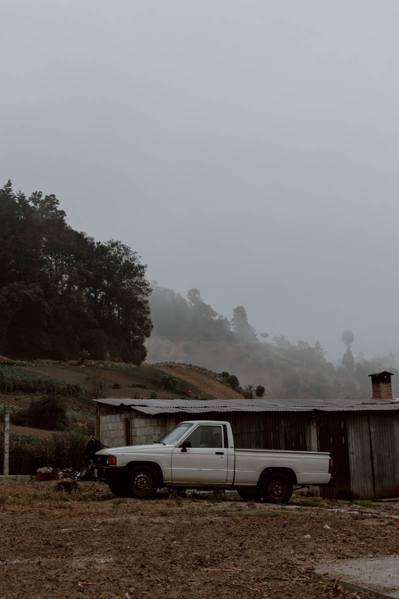
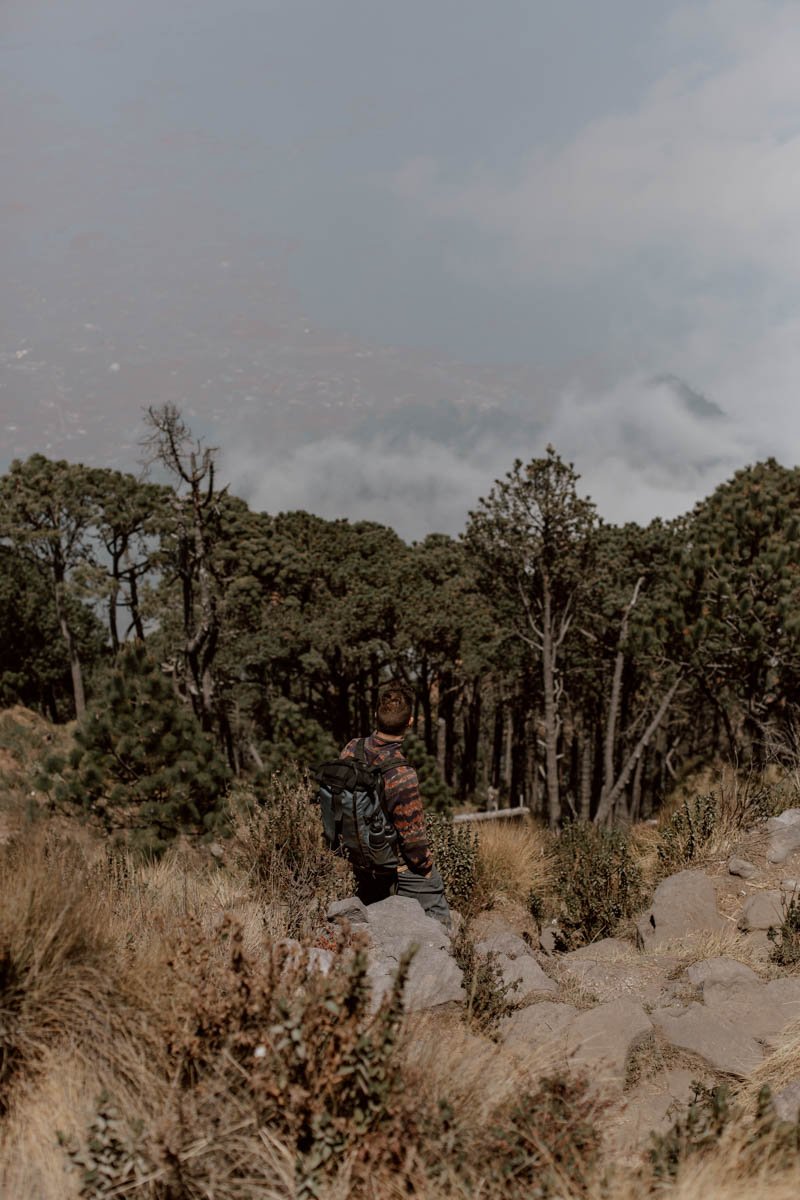
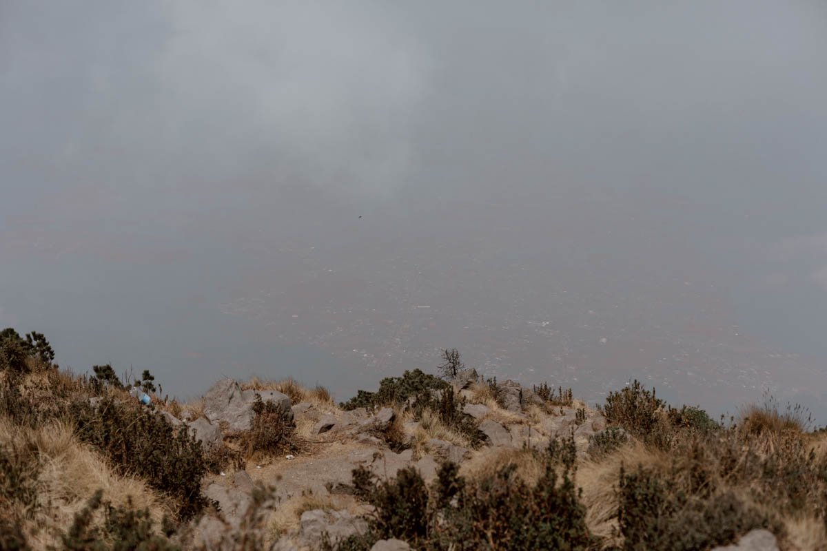
Now, we knew there was a risk to this, as volcanoes always attract cloud coverage as the day progresses. However, as you’ll see from the photos, we had the misfortune of unusually low and constant fog before we even left the city and headed into the hills. This meant we weren't blessed with the uninterrupted and expansive vistas which can be enjoyed at sunrise, nor even some of the more standard views from the trail up, and didn’t even catch sight of Volcan Santa Maria through the shroud!
Do we regret not putting in the extra effort and energy for a sunrise hike? Slightly, but given how surprisingly challenging we found the final section of the ascent, we know that there would have been pros and cons to either option.
So, if you heart is really set on seeing Santiguito erupt below you*, then you should seriously consider the midnight hike or check the forecast and leave Xela as early as you can to improve your chances.
If you would prefer to do the day hike with a guide and group, then we highly recommend the non-profit organisation called Quetzaltrekkers - we conquered Volcano Tajamulco with them a decade ago then joined them for the fantastic three-day Xela to Lake Atitlan hike on this year’s return, and they’re excellent.
*We did actually see Santiaguito erupt, with a massive A-bomb like cloud piercing through the cloud, we just couldn’t see into he crater when it did so.
How To Get To Volcán Santa María (And Back again)
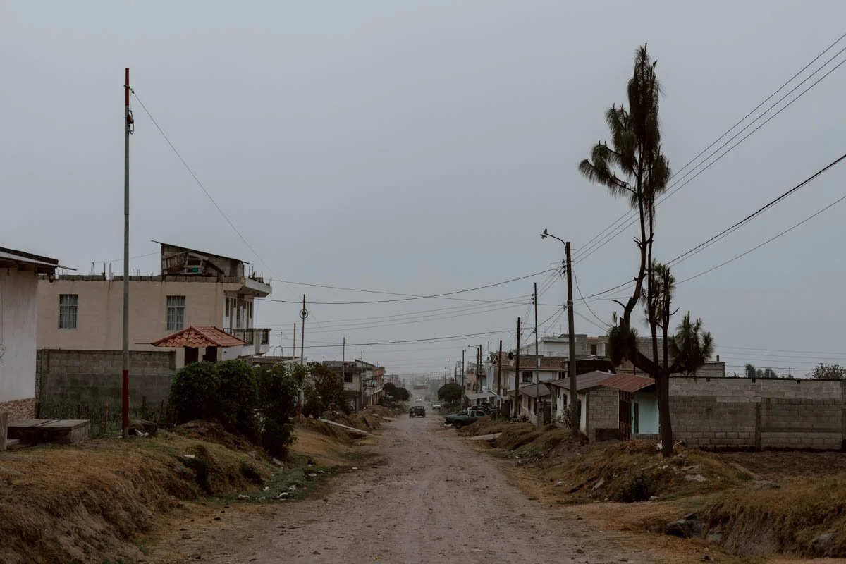
All roads lead to the small village of Llanos del Pinal - a very quiet, spread out village 7kms from Xela.
Find it here on Google Maps.
We prefer to get around Guatemala with the local buses rather than shuttles or taxis, but Uber does offer a really convenient and secure option for hikes and day trips from Xela - especially if it requires an early departure to beat the clouds.
Our ride picked us up outside our guesthouse - Casa Elizabeth - at 6.10am and arrived in 15 minutes. The unpaved, uneven road to access the trailhead isn't the best, so he dropped us off a short walk away where there were a few fruit and veg stalls setting up in the morning mist, people wrapped up as they waited for the first bus into Xela, plus tiendas open for drinks/snacks.
In hindsight, setting off at 4.30 or 5am would have given us a better chance of uninterrupted views from the summit, but that’s day’s visibility was poor generally. If taking an Uber, you want to put the pin in here on Google Maps or enter Hospedaje Santamaría, Llanos del Pinal.
You can also easily reach Llanos del Pinal by the regular local buses, which depart from the triangular Parque El Calvario (maps) from around 6am, journeys take under an hour and cost 3Q each. It’s about a 10-minute walk from the Xela’s’ Parque Central.
However, we strongly recommend taking an Uber out as the quickest and convenient option in the early morning, and saving the chicken bus for the journey back to Xela.
On the return, you'll find the buses waiting at the at the crossroads you'll naturally arrive at at the end of the hike (find the right place to wait here on Google Maps). They seemed to be quite regular, but we recommend being done with the hike well before 4pm to ensure you don't have to panic about catching the last one! We don’t know when the last bus of the day is, but if you find out, do let us know to help other travellers like you.
The bus will arrive again in Parque El Calvario but we continued on it for a few more minutes to the north, getting off by the market (maps).
Plan | 7 Things To Know About Chicken Buses in Guatemala
The Trail & Hike Overview
The Santa Maria hike start point is located at the end of the main gravel road through the village, and just a short walk from where the buses or any taxi will drop you off - you can find the start here on Google Maps.
Access is free, unticketed, and unstaffed.
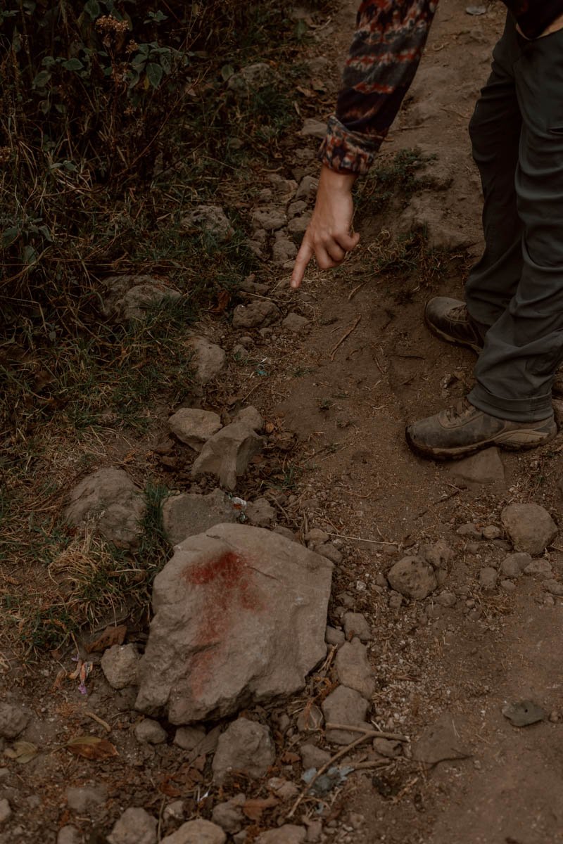
There were one or two faded old signs, but nothing major to mark it out the start as far as we could see. The trail itself is largely unmarked too, but there are some infrequent red spray paint arrows, a few pointers scratched into the trees, some white markings on rocks, and the odd tied up piece of plastic on a tree.
Thankfully, it’s largely easy to follow, but there are a two key turnings not to miss, and it’s easy to take a farmer’s path off the trail - due to the timings, physical challenges, and remoteness, we strongly recommend having the route profile + map downloaded on AllTrails, Google Maps, or Maps.Me.
From our experience, the route + trail can be split into three sections: the farmland; the turning and trees after the fork; the final ascent up with rocks and dirt. Before we summarise those, a few key points to bear in mind when planning ahead:
· Before we set out, hikers on AllTrails and a few blogs said they’d hit the top in 2.5 hours - but you should get that figure completely out of your heads!! That will not be possible for the vast majority of travellers, and the misleading timing negatively affected our planning and experience (a local back in Xela said that timing would be ‘impossible’ for Santa Maria). We think it’s either because they’re lying, super athletes, or logged their time from the part of the hike you’ll reach about 1.5 hours after the village where there’s an official trail sign.
· We instead suggest factoring in 3.5 to 4.5 hours for the hike up from the village start, whilst slower or unfit hikers should plan for up to five hours (or reconsider whether the hike is worth it).
· This is a full-day activity, with the hike taking you anywhere from 6 to 8.5 hours from start to finish, with time for rests, the summit , and transport to/from Xela in addition. We took 4h 15mins on the way up, 3 hours on the way down.
· Do not attempt this hike if there’s been a lot of rain or a lot of rain is forecast - it would be quite a miserable and muddy experience. The best time to hike will be the dry season months of November to April, and if you’re visiting outwith that, we highly recommend checking recent reviews on AllTrails.
· There are no established stop points or viewpoints, so make sure to give yourself a bit of a break on the up half-way before the third section starts in earnest.
· Do not forget that this is an altitude hike reaching highs of 3,777 metres; this can cause serious issues for even the fittest of hikers. We’ve shared more tips on how to adjust and prepare for this at the end of the post.
· Also, no volcano hike is without risk, and Santa Maria’s is in close proximity to the very active Santiaguito lave dome complex - check on recent activity and recommendations on this vulcanologist website.
Section One | The FarmLand
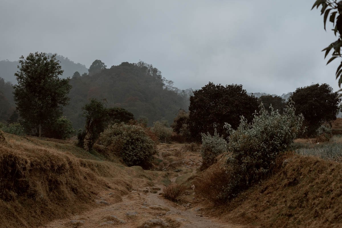
The first section is easy and flat, taking you through fields, grassland, and farm trails. It offers a good opportunity to make up a bit of time if you like, as much after this is a steep ascent.
This may also be the point where Elias (our local hike dog buddy) excitedly joins you for the day!
The main point to look out for on this section is the left turn at a not immediately obvious fork - we accidentally continued on and arrived at a different hike trail to an easier-to-access Santiaguito Volcano viewpoint (Google Maps). Instead, when you see a corrugated metal shack in the field on your right hand side, take the left heading up at the fork (a tree on the left has some white markings and red gouges on it as a waymarker).
Continue up, and you’ll eventually come to an opening up and a flat grassy plain in front of you on the left hand side, and an official ‘RESTRICCIONES’ sign - this point is known as La Meseta del Volcán Santa Maria (Google Maps). It’s where you need to go UP AND RIGHT at the fork to access the Volcan Santa Maria trail proper - do not continue onto and along the flat grassy plain on the left.
Time + Distance | Without the diversion, we took 1h 30 minutes to cover the 2.9km. In hindsight, we could have covered this section quicker, but were instead ambling along quite happily and chatting to a few campesinos we met along the way.
Section Two | The Turning & Trees
Some view this sign and the La Meseta turning as ‘official’ trail for Santa Maria start point, which may explain some of the confusing suggestions that you can ascend in just 2.5 hours; that is really misleading, and we think it’s best to plot your route and timing out from when you start off in the village.
After the turn at the large ‘RESTRICCIONES’ sign, you'll enter a photogenic tree-lined section of the hike, and it’s all quite straightforward from there.
This section involves a gradually steeper incline, and is composed largely of dusty trail and rocks, with some of it through sub-tropical and pine forest. There are some switchback sections, but wherever the paths diverge left or right, they tend to meet back at the same point, so don't fret too much (though one way is usually easier or less slippy than the other). At points you may be amongst the clouds or above them.
Time + Distance | 1 hour 45 minutes, 2 kms

Section Three | The Final Ascent
The toughest, steepest, and most unforgiving part, we hated every moment of it until we saw the crest of the volcano and the blue sky converging.
Several separate groups of descending locals had told us about 20 minutes earlier that we were 'an hour, or an hour and a half' from the summit', and we foolishly thought they were joking given the distance left and misleading hike times we'd read online.
They weren’t.
At times, we genuinely felt like it wouldn’t end, and the only other hiker we met on the way up (a very fit American), said she had stopped to cry before she saw us and it was also ‘kicking her ass’. Perhaps it was the altitude, or perhaps it was the lack of any visible point or view through to clouds to give any sense of persepective or progress, but fatigue and exasperation really hit us both hard.
You may have a much easier or pleasant experience, but we do just want to give you a heads up!
There's nothing too dramatic about the section, but it's very steep, exposed, and involves a little scrambling / using the rocks to help you up. There are some switchbacks to ease the knees and ascent, but not many, and there will be several alleys to reach the same point.
You can find out more on the route profile + route on the Volcan Santa Maria entry on AllTrails
Time + Distance | 1 hour, 1 kms (we were knackered and it is bloody steep)
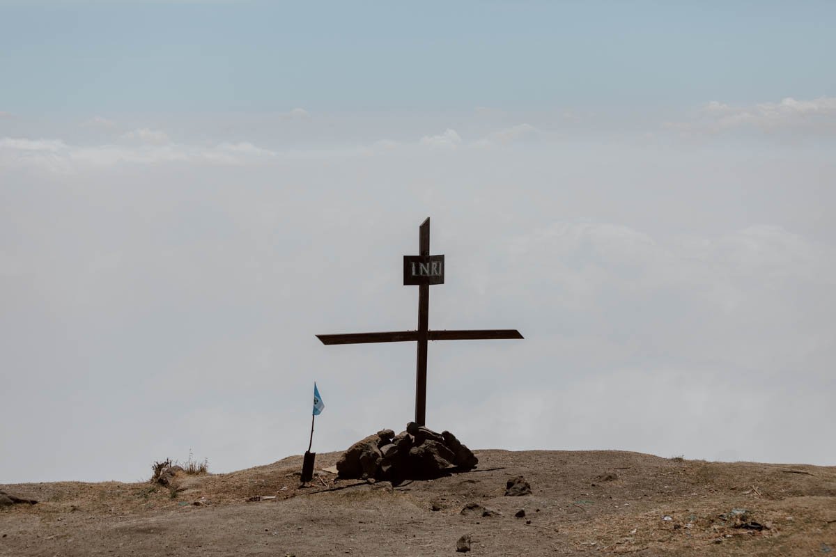
The Summit & Views
The top isn’t a crater, but more like an open-sided hilltop with rocks, boulders, and plenty of room. It’s also the main campsite for overnights and unfortunately, like the rest of the trail, there is lots of litter, with much broken glass and toilet paper; it’s a real shame and something needs to change.
The setting above the clouds is spectacular though and, whilst we didn’t have any view of Santiaguito, the moment its eruption sent a mushroom cloud up was unforgettable. You can also see the peaks of a several other volcanoes, including Siete Orejas and Cerro Quemado.
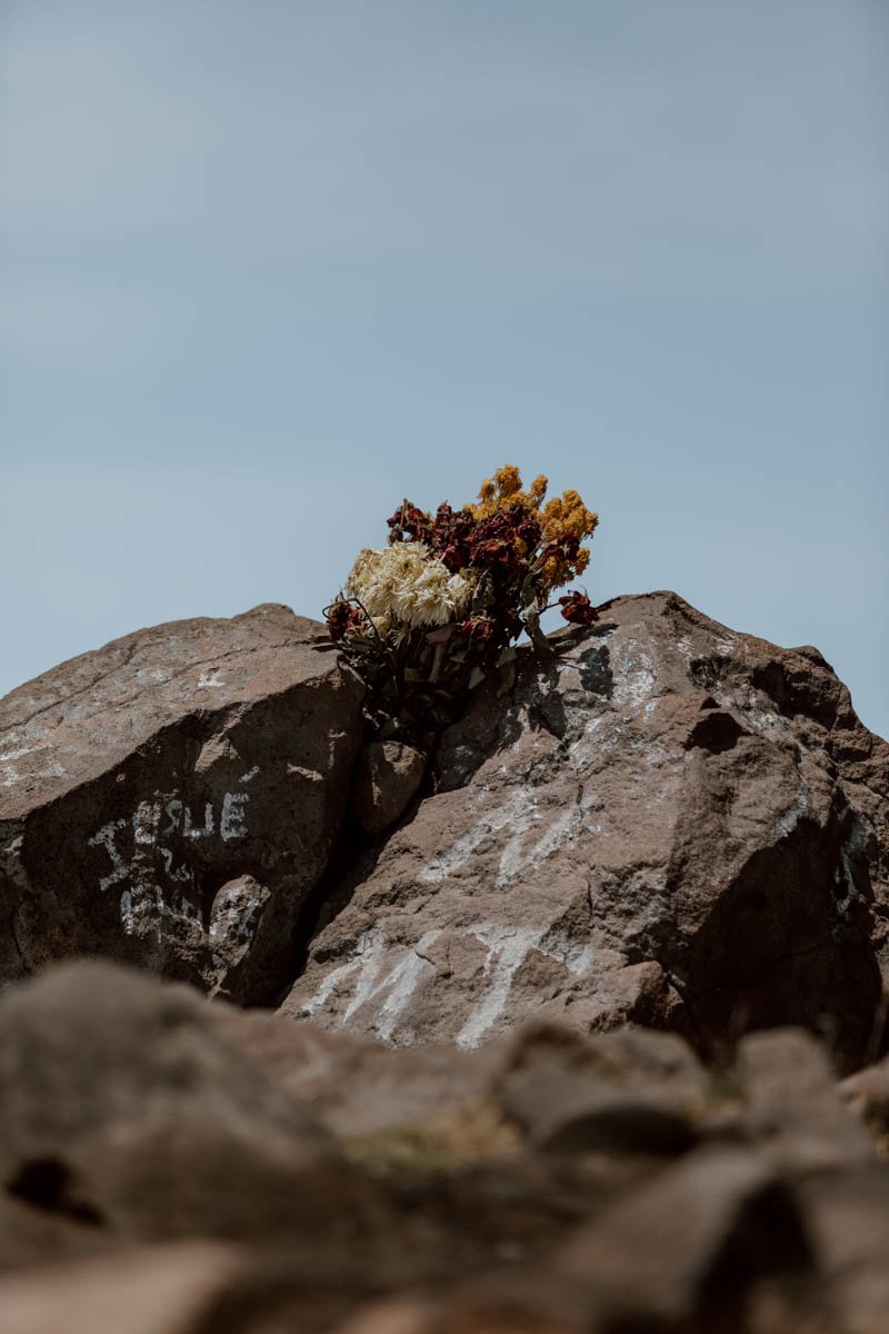
You’ll also see various bouquets of flowers and the remanants of ceremonies and offerings. Whilst Santa Maria is not as sacred as nearby Laguna Chicabal, some locals do hike up specifically for this.
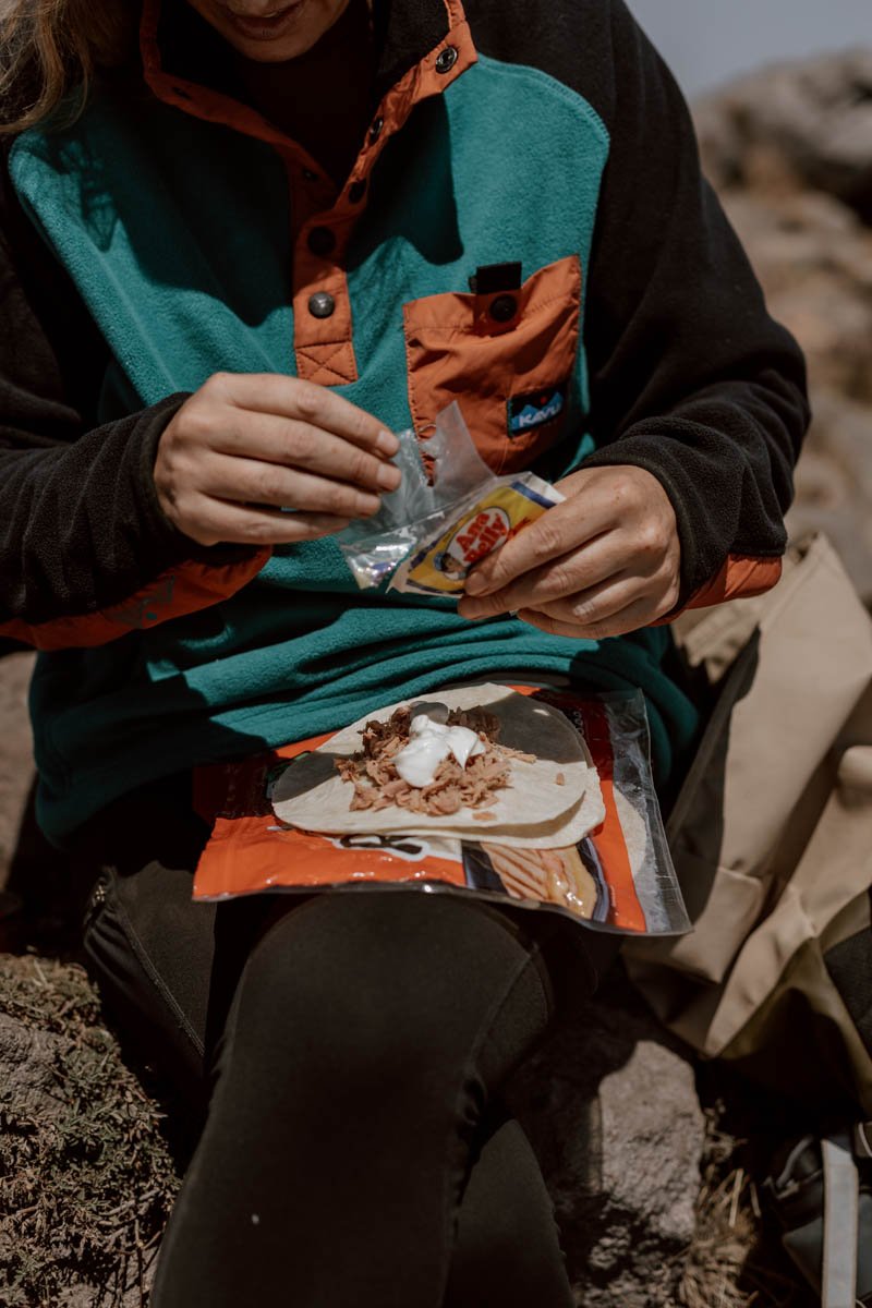
It was also just three of us (plus Elias) up there at 3,772 metres, and the hit from our tuna burrito lunch was most welcome.
If camping, a decent mat would definitely make for a better night’s sleep up here by the way, and note that it can become quite windy.

The Descent
Once you're done at the top, simply follow the same route on the way down.
The descent may take more time and energy than you may expect, particularly the steep section down, with the dust and tired legs meaning we stumbled and skidded a few times. It's also a little unforgiving on the knees.
It took us three hours to reach the village, with the last hour reallllly dragging, but the quicker amongst you could probably cover it in 2.5 hours, whilst the slower will be around 3.5 hours.
The cold cans of pineapple juice and two ice lollies were a reward very much deserved and, after we said our goodbyes to Elias with the last of our mayo-covered tortilla, we caught the bus at the crossroads with various families heading into town in their Saturday best.
We had smiles on our faces the whole way back.
What To Bring & Travel Tips
Given the length of the hike, the remote nature of the trail, the terrain and the altitude, it is vital that you plan and prepare adequately.
There are some hikes in Guatemala where you can definitely just wing it a wee bit and don’t need the right gear or supplies, but Volcan Santa Maria requires respect for the conditions and the climb.
Here’s what we think you need to know + bring:
Community & Respect
· As mentioned, there is a horrifying amount of litter all along the trail and at the summit of Volcan Santa Maria. The level of discarded packets and plastic bottles is beyond any other hike we’ve seen anywhere, and is a real eyesore as well as environmental sore. Sad as it is to say, as this is hike that’s more popular with local walkers than travellers, the responsibility for the rubbish is largely down to them. A little government intervention, some signs, a tour group pick-up and some trash bins would make the world of difference, but at present there are no bins along the way, so we encourage you to bring a plastic bag or similar to take everything you bring back down with you to discard responsibilty back in Xela. Leave no trace.
· You will likely walk near or pass several farmers on the first section of the trail, and a smile with a buenos dias goes a long way. If you speak Spanish though, don’t pass up the chance for a good conversation if it arises - we had a very long and interesting chat with an Evangelical farmer at the end of the hike.
· It isn’t as sacred or protected as nearby Laguna Chicabal, but just bear that in mind that Mayan ceremonies do take place and you should give people and altars sufficient space and respect.
Food & Drink
· There are no amenities or facilities or vendors once you start the trail, and only a few vendors and small shops in Llanos del Pinal. This is fine for some supplies, but they' don’t have much beyond fruit and the tienda standards of crisps, processed cakes and fizzy drinks.
· This means you should buy and bring snacks and lunch from Xela, and save time by doing it the night before. With 6 to 8+ hours on trail, this is going to be a long day, and you will definitely want to have plenty carbs in you and a few mood booster sweets - we seriously regretted not bringing more sweets and stuff with us when it turned out to be a five fucking hour ascent!
· We usually hike with our Water-To-Go filter bottles and fill up as we go, but there were no rivers or steams along the trail. So, you do need to buy and bring extra water with you, and 2L each is a good amount with which to begin the day.
· If you are camping, you will need to bring all food and more water with you.
Clothing & Kit
As we mention in 13 Wonderful Things To Do in Guatemala, if you’re doing this country right, then you should already be arriving with several hiking essentials.
We’ve gone into more detail on these in The Essential Guide To Hiking in Guatemala, but a few points to note for Santa Maria are:
· You should wear hiking boots or shoes if you’ve packed ‘em, but you will see locals doing it in normal trainers and shoes.
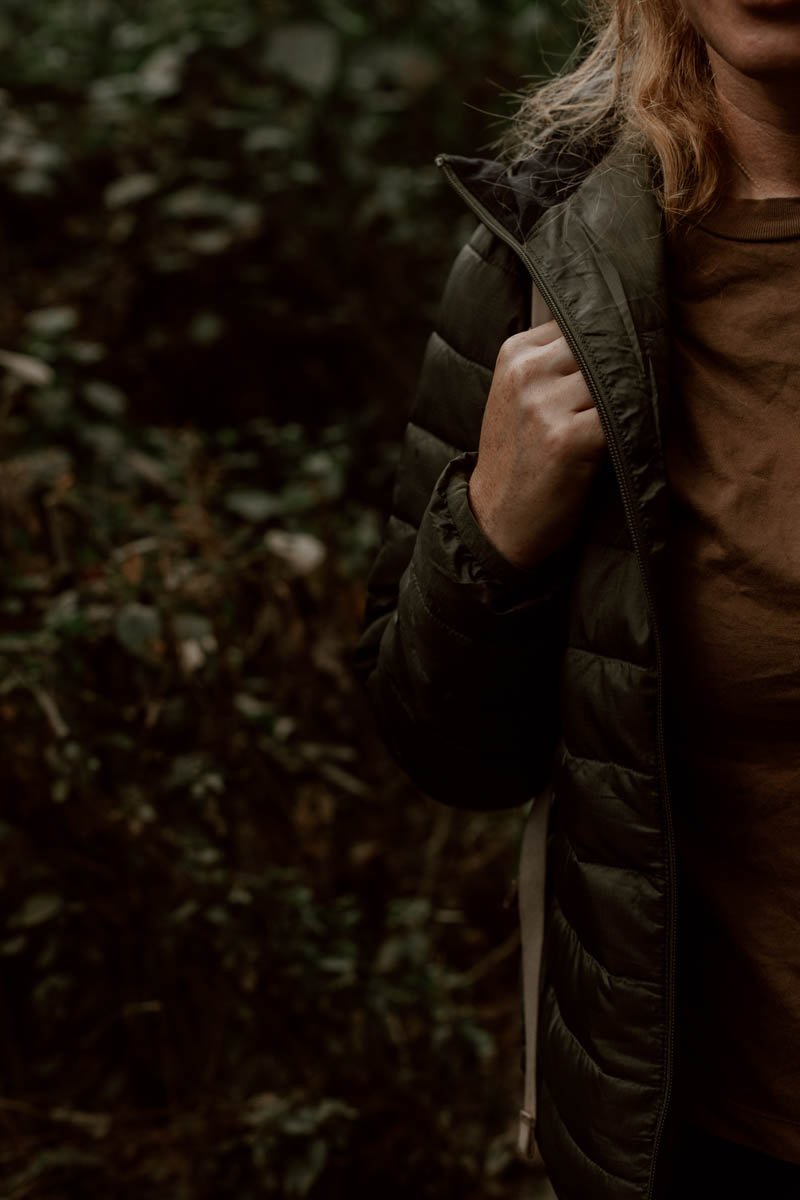
· In Guatemala, layers are the secret to most days and locations. You’ll start cold, disrobe, and then need to put some back on at the top, so make sure you don’t arrive without at least a decent fleece or jumper.
· It can be windy at the top too, but not always, and can somehow be both sunny and hot plus windy and cold at the same time.
· Even if there’s cloud cover, the UV levels are strong throughout and you’ll be exposed more often than not, so slap on the sunscream and reapply at the summit.
· We brought a pair of our trusty packable hiking poles with us, but didn’t need to use them on the trail. However, if you’ve got bad knees or usually walk with them, it’s definitely worth bringing yours along.
· Our faces looked like we’d been down a mine by the end of this hike, despite it not feeling very dusty. If you have them, it’s not a bad idea to bring along wipes.
· Whilst the trail is free and transport inexpensive, bring plenty of cash with you in case of emergencies.
· If you’re camping independently, please ensure you bring sufficient and good quality warm clothes and sleeping bags.
Altitude & Safety
· We’ve banged on about enough, but the most important point to note is that the high altitude should not be treated lightly. Going up to 3,770m from around 2,500m won’t impact everyone in the same way, but it will make the challenging aspects more challenging. Although we aren’t the quickest on steep ascents, the thinning air definitely did a number on us despite us already being pretty well adjusted to the altitude by this stage of the trip.
· So, don’t set out to do this hike on day one or two of your visit to Guatemala. If you’ve arrived in Xela straight from sea-level in Mexico, then you really will need to give yourself a few days to get to grips with it (thankfully, Xela is ideal for this at 2,330m above sea-level).
· We’ve shared more tips and advice for preparing and dealing with altitude sickness in this article
· Also, bear in the mind that this is a remote trail in a relatively small community, with no officials/rangers if you get stuck or darkness falls. If attempting this on your own, make sure you let your accommodation or a friend know your plans. We always bring a little hike first aid kit with us too.
· Make sure your travel insurance covers high altitude hikes - we buy ours with TrueTraveller.
· All locals we spoke to and passed before, on, and after the trail were friendly, and we had some really good conversations with a couple. We also didn’t read any negative reports of robberies or issues on the trail. However, unfortunately no hike is totally risk-free in this country (see 23 Things To Know Before You Visit Guatemala), so do be aware of this and use common sense.
· As mentioned, AllTrails is great resource we use to find + do hikes at home and on our travels, and reading recent experiences of other hikers is a good idea before setting off. You can find the Santa Maria Volcano entry here.

Where to Next?
13 Wonderful Things to Do in Xela
How to Visit Fuentes Georginas
Central America’s Best Sunrise | Climbing Volcan Tajumulco
The Xela to Lake Atitlan Hike | A Concise Guide